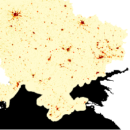
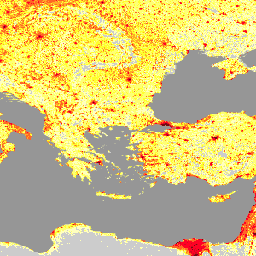
LandScan High Definition(HD)は、3 秒角(約 100 m)の解像度で人口の推定値をグリッド形式で提供します。各 LandScan HD セルの値は、周囲の人口数(24 時間の平均)の推定値を表します。このようにして、データはコース全体にわたる人々の潜在的なアクティビティ空間を捉えます。
[[["わかりやすい","easyToUnderstand","thumb-up"],["問題の解決に役立った","solvedMyProblem","thumb-up"],["その他","otherUp","thumb-up"]],[["必要な情報がない","missingTheInformationINeed","thumb-down"],["複雑すぎる / 手順が多すぎる","tooComplicatedTooManySteps","thumb-down"],["最新ではない","outOfDate","thumb-down"],["翻訳に関する問題","translationIssue","thumb-down"],["サンプル / コードに問題がある","samplesCodeIssue","thumb-down"],["その他","otherDown","thumb-down"]],[],[],["LandScan HD provides population estimates for Ukraine at a 3 arc-second (~100m) resolution, representing a 24-hour average population count per cell. LandScan Global, from Oak Ridge National Laboratory, offers a high-resolution global population distribution dataset. It utilizes spatial modeling and geospatial data to provide detailed population information for diverse applications. Both datasets are tagged with \"landscan\" and \"population,\" indicating their focus on population distribution analysis.\n"]]