Page Summary
-
The National Agriculture Imagery Program (NAIP) acquires aerial imagery during the agricultural growing seasons in the continental U.S.
-
NEON RGB Camera Imagery provides high-resolution RGB orthorectified camera images with a spatial resolution of 0.1 m.
-
Planet SkySat Public Ortho Imagery is available in both 5-band Multispectral/Pan and RGB collections and was collected for the "Skybox for Good Beta" program and various crisis response events.
-
NAIP: National Agriculture Imagery Program
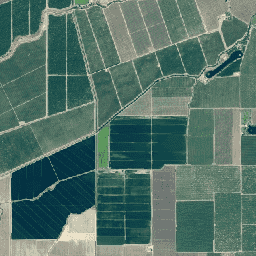
The National Agriculture Imagery Program (NAIP) acquires aerial imagery during the agricultural growing seasons in the continental U.S. NAIP projects are contracted each year based upon available funding and the imagery acquisition cycle. Beginning in 2003, NAIP was acquired on a 5-year cycle. 2008 was … agriculture highres imagery orthophotos usda -
NEON Canopy Height Model (CHM)
Height of the top of canopy above bare earth (Canopy Height Model; CHM). The CHM is derived from the NEON LiDAR point cloud and is generated by creating a continuous surface of canopy height estimates across the entire spatial domain of the LiDAR survey. The … airborne canopy forest forest-biomass highres lidar -
NEON Canopy Nitrogen Content (CNC)
Modelled canopy nitrogen concentration calibrated with NEON plant foliar chemistry observations and predicted with L1 surface directional reflectance, derived from the NEON Imaging Spectrometer (NIS). Bands include 1) canopy nitrogen percent, 2) canopy nitrogen model uncertainty, 3) classification result for needle vs. non-needle model and … airborne canopy forest highres hyperspectral neon -
NEON Digital Elevation Model (DEM)
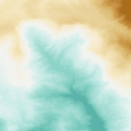
Digital models of the surface (DSM) and terrain (DTM) derived from NEON LiDAR data. DSM: Surface features (topographic information with vegetation and man-made structures present). DTM: Bare earth elevation (topographic information with vegetation and man-made structures removed). Images are given in meters above mean sea … airborne dem elevation-topography forest highres lidar -
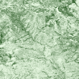
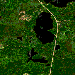
NEON RGB Camera Imagery
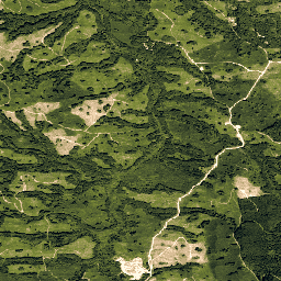
High resolution Red-Green-Blue (RGB) orthorectified camera images mosaicked and output onto a fixed, uniform spatial grid using nearest-neighbor resampling; spatial resolution is 0.1 m. The digital camera is part of a suite of instruments on the NEON Airborne Observation Platform (AOP) that also includes a … airborne forest highres neon neon-prod-earthengine orthophoto -
NEON Surface Bidirectional Reflectance
The NEON AOP Surface Bidirectional Reflectance is a hyperspectral VSWIR (visible to shortwave infrared) data product, containing 426 bands spanning wavelengths from ~380 nm to 2510 nm. Reflectance is scaled by a factor of 10000. Wavelengths between 1340-1445 nm and 1790-1955 nm are set to … airborne forest highres hyperspectral neon neon-prod-earthengine -
Planet SkySat Public Ortho Imagery, Multispectral
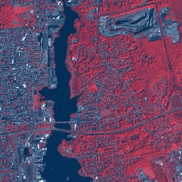
This data from Planet labs Inc. SkySat satellites was collected for the experimental "Skybox for Good Beta" program in 2015, as well as for various crisis response events and a few other projects. The data is available in both a 5-band Multispectral/Pan collection, and a … highres multispectral pansharpened planet satellite-imagery skysat -
Planet SkySat Public Ortho Imagery, RGB
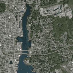
This data from Planet labs Inc. SkySat satellites was collected for the experimental "Skybox for Good Beta" program in 2015, as well as for various crisis response events and a few other projects. The data is available in both a 5-band Multispectral/Pan collection, and a … highres pansharpened planet rgb satellite-imagery skysat