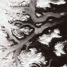
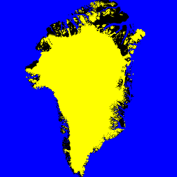
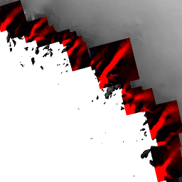
ชุดข้อมูลนี้เป็นส่วนหนึ่งของโปรแกรม NASA Making Earth System Data Records for Use in Research Environments (MEaSUREs) ซึ่งประกอบด้วยแผนที่ความเร็วเฉลี่ยรายเดือนสำหรับพื้นที่ทางออกของธารน้ำแข็งที่เลือก แผนที่สร้างขึ้นโดยการติดตามฟีเจอร์ที่มองเห็นได้ระหว่างคู่ภาพออปติคัลที่ได้จาก Landsat …
[[["เข้าใจง่าย","easyToUnderstand","thumb-up"],["แก้ปัญหาของฉันได้","solvedMyProblem","thumb-up"],["อื่นๆ","otherUp","thumb-up"]],[["ไม่มีข้อมูลที่ฉันต้องการ","missingTheInformationINeed","thumb-down"],["ซับซ้อนเกินไป/มีหลายขั้นตอนมากเกินไป","tooComplicatedTooManySteps","thumb-down"],["ล้าสมัย","outOfDate","thumb-down"],["ปัญหาเกี่ยวกับการแปล","translationIssue","thumb-down"],["ตัวอย่าง/ปัญหาเกี่ยวกับโค้ด","samplesCodeIssue","thumb-down"],["อื่นๆ","otherDown","thumb-down"]],[],[],["The Greenland Ice Mapping Project (GIMP) provides several datasets focused on Greenland. These include: land ice and ocean classification masks at 15m resolution using Landsat 7 imagery; a 15m resolution image mosaic of the Greenland ice sheet from Landsat 7 and RADARSAT-1 SAR imagery (1999-2002); a Digital Elevation Model (DEM) using ASTER, SPOT-5, and AVHRR data; and monthly glacier velocity maps from tracking features in optical Landsat image pairs. All data is obtained under the MEaSUREs program.\n"]]