
Page Summary
-
The USFS TreeMap v2020 and v2022 products provide detailed spatial information on forest characteristics across the entire forested extent of the United States for those respective years.
-
These products are part of the TreeMap data suite and include data on the number of live and dead trees, biomass, and carbon.
-
USFS Landscape Change Monitoring System v2025-11 (CONUS and OCONUS)
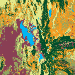
This product is part of the Landscape Change Monitoring System (LCMS) data suite. It shows LCMS-modeled change, land cover, and/or land use classes for each year and covers the Conterminous United States (CONUS) as well as areas outside the CONUS (OCONUS) including Alaska (AK), Puerto … change-detection forest fsic-go gtac gtac-data-publish landcover -
USFS Tree Canopy Cover v2025-6 (CONUS and OCONUS)
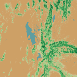
The Tree Canopy Cover (TCC) data suite, produced by the United States Department of Agriculture, Forest Service (USFS), are annual remote sensing-based map outputs spanning from 1985-2025. These data support the National Land Cover Database (NLCD) project, which is managed by the US Geological Survey … forest fsic-go gtac gtac-data-publish landuse-landcover publisher-dataset