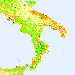
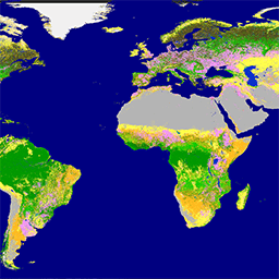
Copernicus Global Land Service (CGLS) ได้รับการกำหนดให้เป็นส่วนประกอบของบริการที่ดินเพื่อดำเนินการส่วนประกอบบริการแบบอเนกประสงค์ที่ให้บริการผลิตภัณฑ์ทางชีวภูมิฟิสิกส์ชุดหนึ่งเกี่ยวกับสถานะและวิวัฒนาการของพื้นผิวดินในระดับโลก แผนที่พื้นผิวปกคลุมดินแบบไดนามิกที่ …
[[["เข้าใจง่าย","easyToUnderstand","thumb-up"],["แก้ปัญหาของฉันได้","solvedMyProblem","thumb-up"],["อื่นๆ","otherUp","thumb-up"]],[["ไม่มีข้อมูลที่ฉันต้องการ","missingTheInformationINeed","thumb-down"],["ซับซ้อนเกินไป/มีหลายขั้นตอนมากเกินไป","tooComplicatedTooManySteps","thumb-down"],["ล้าสมัย","outOfDate","thumb-down"],["ปัญหาเกี่ยวกับการแปล","translationIssue","thumb-down"],["ตัวอย่าง/ปัญหาเกี่ยวกับโค้ด","samplesCodeIssue","thumb-down"],["อื่นๆ","otherDown","thumb-down"]],[],[],["The Copernicus program provides land cover data through two key initiatives. The CORINE Land Cover (CLC) inventory, initiated in 1985 and coordinated by the EEA, standardizes land data collection in Europe. The Copernicus Global Land Service (CGLS) offers bio-geophysical products and dynamic land cover maps at a global scale, providing insights into land surface status and evolution. Both use the European Union's resources, are associated with the European Environment Agency (EEA), European Space Agency (ESA), and focus on land cover.\n"]]