
Page Summary
-
Actual Evapotranspiration for Australia is available using the CMRSET Landsat V2.2 dataset, providing average daily values from cloud-free Landsat observations each month.
-
The Soil and Landscape Grid of Australia (SLGA) offers a comprehensive dataset of soil attributes across Australia at approximately 90m resolution, based on modelled spatial distribution.
-
Actual Evapotranspiration for Australia (CMRSET Landsat V2.2)
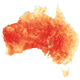
This dataset provides accurate actual evapotranspiration (AET or ETa) for Australia using the CMRSET algorithm. The AET band (named 'ETa') contains the average daily value from the CMRSET model for all cloud-free Landsat observations in that month (indicated with value 3 in the AET Data … agriculture australia csiro evaporation evapotranspiration landsat-derived -
CSIRO Global Biodiversity Indicators
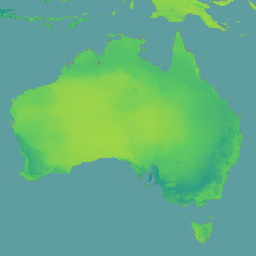
The CSIRO biodiversity indicators v4 dataset, produced by CSIRO using the BILBI (Biogeographic Infrastructure for Large-scale Biodiversity Indicators) framework, models global terrestrial biodiversity indicators at 30 arcsecond (~1 km) resolution annually from 2000 to 2024. These indicators provide a system-level view of change in biodiversity … biodiversity csiro ecosystems species -
SLGA: Soil and Landscape Grid of Australia (Soil Attributes)

The Soil and Landscape Grid of Australia (SLGA) is a comprehensive dataset of soil attributes across Australia at 3 arc-second resolution (~90m pixels). The surfaces are the outcomes from modelling that describe the spatial distribution of the soil attributes using existing soil data and environmental … australia csiro soil tern