
Page Summary
-
The FAO GAUL dataset provides standardized administrative unit information for countries globally, with a simplified 500m version also available.
-
The TIGER dataset from the US Census Bureau offers county boundaries for the United States for the years 2016 and 2018.
-
FAO GAUL 500m Simplified: Global Administrative Unit Layers 2025, Second-Level Administrative Units
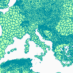
This version of the GAUL dataset is simplified at 500m. The administrative boundaries dataset at level 2 (sub-national level) is part of the Global Administrative Unit Layers (GAUL 2025) dataset series which includes information on administrative units for all countries in the world, providing a … borders county districts fao gaul infrastructure-boundaries -
FAO GAUL: Global Administrative Unit Layers 2025, Second-Level Administrative Units
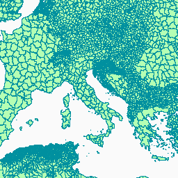
The administrative boundaries dataset at level 2 (sub-national level) is part of the Global Administrative Unit Layers (GAUL 2025) dataset series which includes information on administrative units for all countries in the world, providing a contribution to the standardization of the spatial dataset representing administrative … borders county districts fao gaul infrastructure-boundaries -
TIGER: US Census Counties 2016
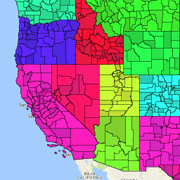
The United States Census Bureau TIGER dataset contains the 2016 boundaries for primary legal divisions of US states. In most states, these entities are termed "counties". In Louisiana, these divisions are known as "parishes". Alaska has governmental entities called "boroughs" which fill a similar governmental … census county infrastructure-boundaries table tiger us -
TIGER: US Census Counties 2018
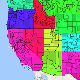
The United States Census Bureau TIGER dataset contains the 2018 boundaries for primary legal divisions of US states. In most states, these entities are termed "counties". In Louisiana, these divisions are known as "parishes". Alaska has governmental entities called "boroughs" which fill a similar governmental … census county infrastructure-boundaries table tiger us