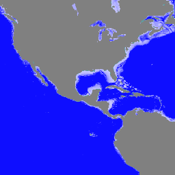
전 세계 140만 개 이상의 수역에 관한 데이터로 구성된 GLObal Bathymetric (GLOBathy) 데이터세트는 널리 알려진 HydroLAKES 데이터세트와 조화를 이루도록 세심하게 개발되었습니다. 정교한 지리 정보 시스템 (GIS) 기반 프레임워크를 활용하여 GLOBathy는 최대 수심 추정치와 기하학적/지구물리학적 …
[[["이해하기 쉬움","easyToUnderstand","thumb-up"],["문제가 해결됨","solvedMyProblem","thumb-up"],["기타","otherUp","thumb-up"]],[["필요한 정보가 없음","missingTheInformationINeed","thumb-down"],["너무 복잡함/단계 수가 너무 많음","tooComplicatedTooManySteps","thumb-down"],["오래됨","outOfDate","thumb-down"],["번역 문제","translationIssue","thumb-down"],["샘플/코드 문제","samplesCodeIssue","thumb-down"],["기타","otherDown","thumb-down"]],[],[],[]]