Page Summary
-
MCD19A1.061 provides daily land surface BRF data at 500m and 1km resolution from Terra and Aqua MODIS.
-
MCD19A2.061 offers daily land aerosol optical depth data at 1km resolution from Terra and Aqua MODIS using the MAIAC method.
-
Both datasets are Level 2, gridded products from MODIS Terra and Aqua combined.
-
MCD19A1.061: Land Surface BRF Daily L2G Global 500m and 1km
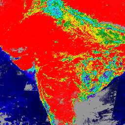
The MCD19A1 Version 6.1 data product is a Moderate Resolution Imaging Spectroradiometer (MODIS) Terra and Aqua combined Land Surface Bidirectional Reflectance Factor (BRF) gridded Level 2 product produced daily at 500 meter and 1 kilometer resolution. For more information see the MAIAC user guide. aerosol aod aqua daily global maiac -
MCD19A2.061: Terra & Aqua MAIAC Land Aerosol Optical Depth Daily 1km
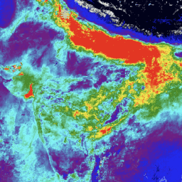
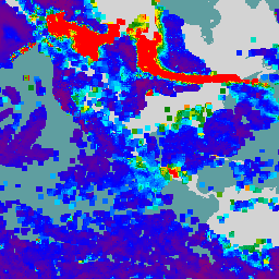
The MCD19A2 V6.1 data product is a MODIS Terra and Aqua combined Multi-angle Implementation of Atmospheric Correction (MAIAC) Land Aerosol Optical Depth (AOD) gridded Level 2 product produced daily at 1 km resolution. For more information see the MAIAC user guide. NOTE: This product has … aerosol aod aqua atmosphere daily global -
VIIRS Aerosol Optical Depth and Aerosol Particle Size EDRs V3
The VIIRS Aerosol Optical Depth (AOD) and Aerosol Particle Size (APS) Environmental Data Records (EDRs) product provides aerosol properties retrieved from the Visible Infrared Imaging Radiometer Suite (VIIRS) sensor. The primary product is the AOD at 550 nm, with additional retrievals at other sensor channels … aerosol aod atmosphere noaa viirs