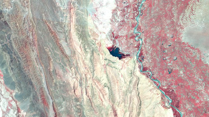
Program Landsat USGS/NASA telah mengamati Bumi secara berkelanjutan sejak tahun 1972. Data spektral dan termal yang disediakan oleh sensor Landsat adalah komponen penting dari banyak project pemantauan dan riset Bumi.
Koleksi 2
Landsat Collection 2, upaya pemrosesan ulang utama kedua pada arsip Landsat, menghasilkan beberapa peningkatan produk data yang menerapkan kemajuan dalam pemrosesan data dan pengembangan algoritma.
Selain gambar mentah, Earth Engine berisi beberapa koleksi komposit Landsat: SR, BAI, EVI, NBR, NDVI, dan NDWI pada irama 8 hari, 32 hari, dan tahunan.

Landsat 9 OLI-2/TIRS-2
2021–Sekarang
Landsat 8 OLI/TIRS
2013–Sekarang
Landsat 7 ETM+
1999–2024
Landsat 5 TM
1984–2012
Landsat 4 TM
1982–1993
Landsat 1-5 MSS
1972–1999