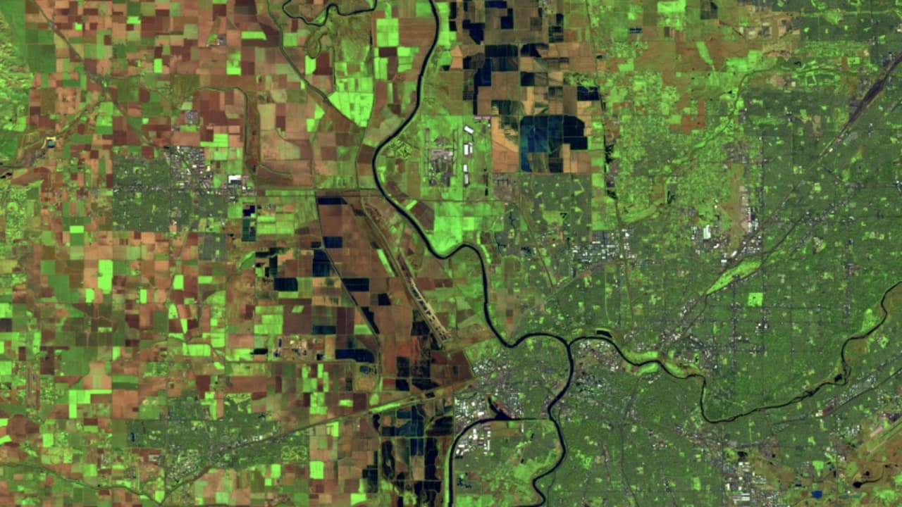
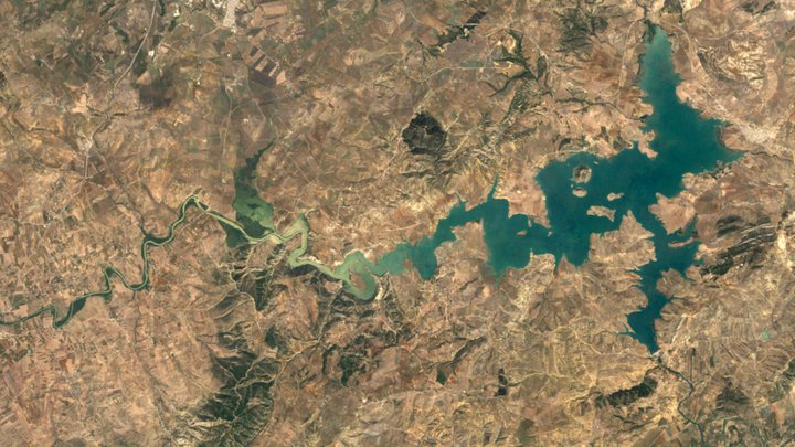
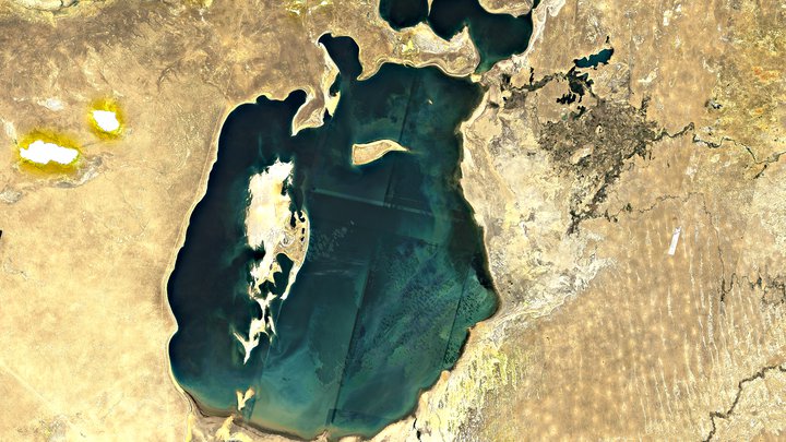
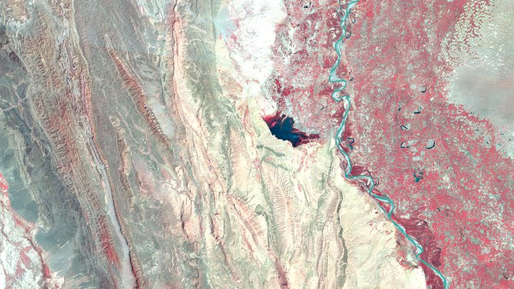
El Programa Landsat del USGS/NASA observa la Tierra de forma continua desde 1972. Los datos espectrales y térmicos que proporcionan los sensores de Landsat son un componente esencial de muchos proyectos de investigación y supervisión de la Tierra.
Colección 2
La Colección 2 de Landsat, el segundo esfuerzo de reprocesamiento importante del archivo de Landsat, generó varias mejoras en los productos de datos que aplicaron avances en el procesamiento de datos y el desarrollo de algoritmos.
Además de las imágenes sin procesar, Earth Engine contiene varias colecciones de imágenes compuestas de Landsat: SR, BAI, EVI, NBR, NDVI y NDWI con cadencias anuales, de 8 días y de 32 días.
Landsat 9 OLI-2/TIRS-2
2021-presente

OLI/TIRS de Landsat 8
2013-presente

ETM+ de Landsat 7
1999–2024
Landsat 5 TM
1984–2012
Landsat 4 TM
1982–1993
MSS de Landsat 1-5
1972-1999