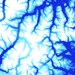
ArcticDEM은 초목, 나무 덮개, 건물, 기타 인공 표면 특징을 포함하는 첫 번째 반환 고도 값을 나타내는 디지털 표면 모델 (DSM)입니다. 2m 애셋은 스트립 간의 투영 차이로 인해 단일 모자이크가 아닌 스트립 모음입니다. 모자이크 처리된 DEM 파일은 최적의 …
[[["이해하기 쉬움","easyToUnderstand","thumb-up"],["문제가 해결됨","solvedMyProblem","thumb-up"],["기타","otherUp","thumb-up"]],[["필요한 정보가 없음","missingTheInformationINeed","thumb-down"],["너무 복잡함/단계 수가 너무 많음","tooComplicatedTooManySteps","thumb-down"],["오래됨","outOfDate","thumb-down"],["번역 문제","translationIssue","thumb-down"],["샘플/코드 문제","samplesCodeIssue","thumb-down"],["기타","otherDown","thumb-down"]],[],[],["This document details the ArcticDEM V2 5m dataset, a digital surface model from the University of Minnesota Polar Geospatial Center. It provides 5-meter resolution elevation data, including vegetation and man-made features, from imagery taken on September 21, 2016. The data includes elevation, and a match tag indicating if the pixel was derived from a stereo match or interpolation. The data must be cited when used, and is accessible through Google Earth Engine, which requires registration.\n"]]