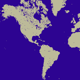
MOD44W.006 Terra Land Water Mask Derived From MODIS and SRTM Yearly Global 250m
จัดทุกอย่างให้เป็นระเบียบอยู่เสมอด้วยคอลเล็กชัน
บันทึกและจัดหมวดหมู่เนื้อหาตามค่ากำหนดของคุณ
[[["เข้าใจง่าย","easyToUnderstand","thumb-up"],["แก้ปัญหาของฉันได้","solvedMyProblem","thumb-up"],["อื่นๆ","otherUp","thumb-up"]],[["ไม่มีข้อมูลที่ฉันต้องการ","missingTheInformationINeed","thumb-down"],["ซับซ้อนเกินไป/มีหลายขั้นตอนมากเกินไป","tooComplicatedTooManySteps","thumb-down"],["ล้าสมัย","outOfDate","thumb-down"],["ปัญหาเกี่ยวกับการแปล","translationIssue","thumb-down"],["ตัวอย่าง/ปัญหาเกี่ยวกับโค้ด","samplesCodeIssue","thumb-down"],["อื่นๆ","otherDown","thumb-down"]],[],[],["The MOD44W V6 dataset, provided by NASA LP DAAC, offers a yearly land/water mask product from 2000 to 2015 at a 250-meter resolution, and can be accessed using the Earth Engine snippet. Derived via a decision tree classifier with MODIS data and validated by the V5 product, it uses masks to mitigate issues from terrain shadow, burn scars, cloudiness, or ocean ice. The dataset, available on Google Earth Engine, includes 'water_mask' and 'water_mask_QA' bands.\n"]]