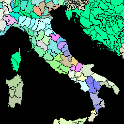
FAO GAUL 500m Simplified: Global Administrative Unit Layers 2015, Second-Level Administrative Units [deprecated]
コレクションでコンテンツを整理
必要に応じて、コンテンツの保存と分類を行います。
このバージョンの GAUL データセットは 500 m で簡略化されています。Global Administrative Unit Layers(GAUL)は、世界のすべての国の行政単位に関する入手可能な最良の情報を収集して配布し、行政単位を表す空間データセットの標準化に貢献しています。GAUL は常にグローバルな…
[[["わかりやすい","easyToUnderstand","thumb-up"],["問題の解決に役立った","solvedMyProblem","thumb-up"],["その他","otherUp","thumb-up"]],[["必要な情報がない","missingTheInformationINeed","thumb-down"],["複雑すぎる / 手順が多すぎる","tooComplicatedTooManySteps","thumb-down"],["最新ではない","outOfDate","thumb-down"],["翻訳に関する問題","translationIssue","thumb-down"],["サンプル / コードに問題がある","samplesCodeIssue","thumb-down"],["その他","otherDown","thumb-down"]],[],[],["The provided dataset, FAO/GAUL_SIMPLIFIED_500m/2015/level2, offers simplified 500m resolution Global Administrative Unit Layers (GAUL) data from 2015. This data, sourced from FAO UN, standardizes spatial administrative units globally, including country, and first and second administrative levels. Users can access and download this non-commercial dataset via the Earth Engine platform, which includes table schemas for coding, naming, and administrative details. The data is available between 2014-12-19T16:45:00Z--2014-12-19T16:45:00Z.\n"]]