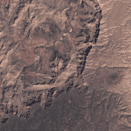
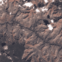
Este conjunto de dados contém a refletância da superfície corrigida atmosfericamente e a temperatura da superfície terrestre derivadas dos dados produzidos pelo sensor Landsat TM. Estas imagens contêm 4 bandas visíveis e de infravermelho próximo (VNIR) e 2 bandas de infravermelho de ondas curtas (SWIR) processadas para refletância da superfície ortorretificada e uma banda de infravermelho térmico…
Este conjunto de dados contém a refletância da superfície corrigida atmosfericamente e a temperatura da superfície terrestre derivadas dos dados produzidos pelo sensor Landsat TM. Estas imagens contêm 4 bandas visíveis e de infravermelho próximo (VNIR) e 2 bandas de infravermelho de ondas curtas (SWIR) processadas para refletância da superfície ortorretificada e uma banda de infravermelho térmico…
Landsat 4 TM Coleção 2 Nível 1 Valores DN, que representam a radiância calibrada e dimensionada no sensor. As cenas Landsat com a maior qualidade de dados disponível são colocadas no Nível 1 e são consideradas adequadas para a análise de processamento de séries cronológicas. O Nível 1 inclui dados processados de Terreno de precisão de nível 1 (L1TP) que…
Landsat 4 TM Coleção 2 Nível 2 Valores DN, que representam a radiância calibrada e dimensionada no sensor. As cenas que não cumprem os critérios do Nível 1 durante o processamento são atribuídas ao Nível 2. Isto inclui cenas processadas de Terreno sistemático (L1GT) e Sistemático (L1GS), bem como quaisquer cenas L1TP que…
Este conjunto de dados contém a refletância da superfície corrigida atmosfericamente e a temperatura da superfície terrestre derivadas dos dados produzidos pelo sensor Landsat TM. Estas imagens contêm 4 bandas visíveis e de infravermelho próximo (VNIR) e 2 bandas de infravermelho de ondas curtas (SWIR) processadas para refletância da superfície ortorretificada e uma banda de infravermelho térmico…
Este conjunto de dados contém a refletância da superfície corrigida atmosfericamente e a temperatura da superfície terrestre derivadas dos dados produzidos pelo sensor Landsat TM. Estas imagens contêm 4 bandas visíveis e de infravermelho próximo (VNIR) e 2 bandas de infravermelho de ondas curtas (SWIR) processadas para refletância da superfície ortorretificada e uma banda de infravermelho térmico…
Landsat 5 TM Coleção 2 Nível 1 Valores DN, que representam a radiância calibrada e dimensionada no sensor. As cenas Landsat com a maior qualidade de dados disponível são colocadas no Nível 1 e são consideradas adequadas para a análise de processamento de séries cronológicas. O Nível 1 inclui dados processados de Terreno de precisão de nível 1 (L1TP) que…
Landsat 5 TM Coleção 2 Nível 2 Valores DN, que representam a radiância calibrada e dimensionada no sensor. As cenas que não cumprem os critérios do Nível 1 durante o processamento são atribuídas ao Nível 2. Isto inclui cenas processadas de Terreno sistemático (L1GT) e Sistemático (L1GS), bem como quaisquer cenas L1TP que…
[[["Fácil de entender","easyToUnderstand","thumb-up"],["Meu problema foi resolvido","solvedMyProblem","thumb-up"],["Outro","otherUp","thumb-up"]],[["Não contém as informações de que eu preciso","missingTheInformationINeed","thumb-down"],["Muito complicado / etapas demais","tooComplicatedTooManySteps","thumb-down"],["Desatualizado","outOfDate","thumb-down"],["Problema na tradução","translationIssue","thumb-down"],["Problema com as amostras / o código","samplesCodeIssue","thumb-down"],["Outro","otherDown","thumb-down"]],[],[],[]]