Page Summary
-
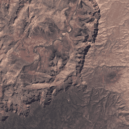
These datasets provide atmospherically corrected surface reflectance and land surface temperature from the Landsat TM sensor.
-
The datasets include 4 visible/near-infrared and 2 short-wave infrared bands processed to orthorectified surface reflectance, plus thermal infrared data.
-
The collection contains Tier 1 and Tier 2 data.
-
USGS Landsat 5 Level 2, Collection 2, Tier 1
This dataset contains atmospherically corrected surface reflectance and land surface temperature derived from the data produced by the Landsat TM sensor. These images contain 4 visible and near-infrared (VNIR) bands and 2 short-wave infrared (SWIR) bands processed to orthorectified surface reflectance, and one thermal infrared … cfmask cloud fmask global landsat lasrc -
USGS Landsat 5 Level 2, Collection 2, Tier 2

This dataset contains atmospherically corrected surface reflectance and land surface temperature derived from the data produced by the Landsat TM sensor. These images contain 4 visible and near-infrared (VNIR) bands and 2 short-wave infrared (SWIR) bands processed to orthorectified surface reflectance, and one thermal infrared … cfmask cloud fmask global landsat lasrc