Page Summary
-
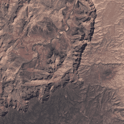
Both datasets contain atmospherically corrected surface reflectance and land surface temperature derived from Landsat 7 ETM+ sensor data.
-
The datasets consist of images with 4 visible and near-infrared bands, 2 short-wave infrared bands, and one thermal band.
-
Both datasets are tagged with terms like cfmask, cloud, etm, fmask, global, and landsat.
-
The two datasets represent Tier 1 and Tier 2 collections of the USGS Landsat 7 Level 2, Collection 2 data.
-
USGS Landsat 7 Level 2, Collection 2, Tier 1
This dataset contains atmospherically corrected surface reflectance and land surface temperature derived from the data produced by the Landsat 7 ETM+ sensor. These images contain 4 visible and near-infrared (VNIR) bands and 2 short-wave infrared (SWIR) bands processed to orthorectified surface reflectance, and one thermal … cfmask cloud etm fmask global landsat -
USGS Landsat 7 Level 2, Collection 2, Tier 2

This dataset contains atmospherically corrected surface reflectance and land surface temperature derived from the data produced by the Landsat 7 ETM+ sensor. These images contain 4 visible and near-infrared (VNIR) bands and 2 short-wave infrared (SWIR) bands processed to orthorectified surface reflectance, and one thermal … cfmask cloud etm fmask global landsat