The USDA Forest Service provides a suite of national datasets to monitor the health and diversity of forests, grasslands, and surrounding landscapes across the United States.
These datasets offer a wide range of applications for federal, state, and private partners to support the sustainable use and management of natural resources and land uses to meet diverse public needs.

-
USFS Landscape Change Monitoring System v2025-11 (CONUS and OCONUS)
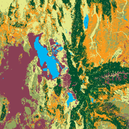
This product is part of the Landscape Change Monitoring System (LCMS) data suite. It shows LCMS-modeled change, land cover, and/or land use classes for each year and covers the Conterminous United States (CONUS) as well as areas outside the CONUS (OCONUS) including Alaska (AK), Puerto … change-detection forest fsic-go gtac gtac-data-publish landcover -
USFS Tree Canopy Cover v2025-6 (CONUS and OCONUS)
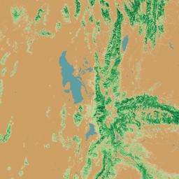
The Tree Canopy Cover (TCC) data suite, produced by the United States Department of Agriculture, Forest Service (USFS), are annual remote sensing-based map outputs spanning from 1985-2025. These data support the National Land Cover Database (NLCD) project, which is managed by the US Geological Survey … forest fsic-go gtac gtac-data-publish landuse-landcover publisher-dataset -
USFS TreeMap 2026-1

TreeMap datasets provide detailed spatial information on forest characteristics across the entire forested extent of the Conterminous United States (CONUS) for the years 2016, 2020, 2022, and 2023. TreeMap 2014 is also available for CONUS but not included in this data archive. TreeMap 2024 is … aboveground biomass carbon climate-change conus forest