Oya is a quasi-global, high-resolution precipitation estimation dataset derived from geostationary (GEO) satellite observations.
-
Oya: 5km Quasi-Global Precipitation Estimates
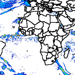
Oya is a quasi-global, high-resolution precipitation estimation dataset derived from geostationary (GEO) satellite observations. The Oya model utilizes the full spectrum of visible and infrared (VIS-IR) channels from a constellation of GEO satellites — including GOES-16/18, Meteosat-9/10, and Himawari-8/9 — to generate precipitation estimates covering … climate geophysical gpm precipitation publisher-dataset weather