-
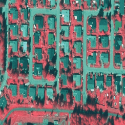
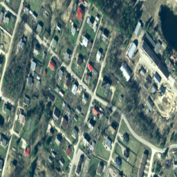
Estonia mono orthophotos
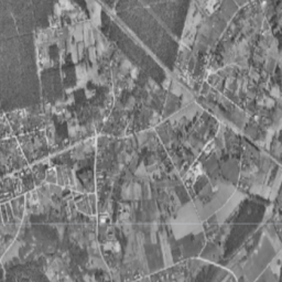
Orthophotos are an aerial photo dataset covering Estonia. An orthophoto is a processed aerial photo from which distortions caused by terrain relief, camera tilt relative to the ground at the moment of exposure and camera central projection are removed. A digital orthophoto has a certain … estonia orthophoto -
Estonia RGB orthophotos
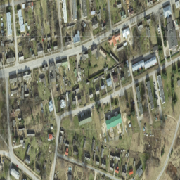
Orthophotos are an aerial photo dataset covering Estonia. An orthophoto is a processed aerial photo from which distortions caused by terrain relief, camera tilt relative to the ground at the moment of exposure and camera central projection are removed. A digital orthophoto has a certain … estonia orthophoto rgb -
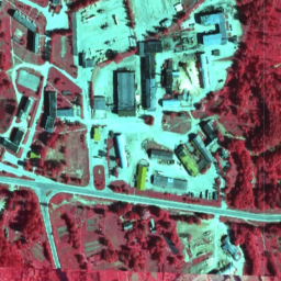
Finland NRG NLS orthophotos 50 cm by Mavi
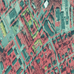
NLS Orthophotos are an aerial photo dataset covering the whole of Finland. This data is provided by Mavi(Agency for Rural Affairs). An orthophoto is a combination of several individual aerial photos. The aerial photo dataset in orthophoto format is available as the most recent dataset … falsecolor finland nrg orthophoto -
Finland RGB NLS orthophotos 50 cm by SMK
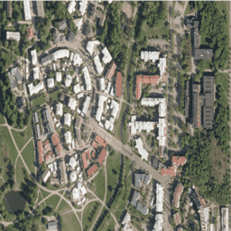
NLS Orthophotos are an aerial photo dataset covering the whole of Finland. This data is provided by SMK(The Energy Agency, formerly abbreviated SMK). An orthophoto is a combination of several individual aerial photos. The aerial photo data set in orthophoto format is available as the … finland orthophoto rgb smk -
Finland NRG NLS orthophotos 50 cm by SMK
NLS Orthophotos are an aerial photo dataset covering the whole of Finland. This data is provided by SMK(The Energy Agency, formerly abbreviated SMK). An orthophoto is a combination of several individual aerial photos. The aerial photo dataset in orthophoto format is available as the most … falsecolor finland nrg orthophoto smk -
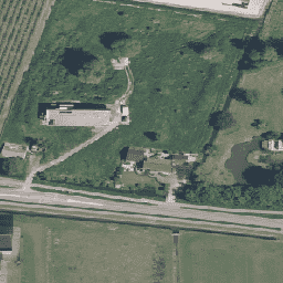
Brandenburg (Germany) RGBN orthophotos 20 cm
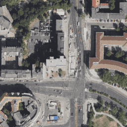
Orthophotos are an aerial photo dataset covering the Brandenburg state of Germany. This data is provided by State government of Brandenburg (LGB). Digital orthophotos are digitally corrected aerial photos and show all objects that are visible from the air at the time of recording in … orthophoto -
ALOS/AVNIR-2 ORI
This dataset is contains orthorectified imagery from the Advanced Visible and Near Infrared Radiometer type 2 (AVNIR-2) sensor on-board the Advanced Land Observing Satellite (ALOS) "DAICHI". The AVNIR-2 ORI product was created from AVNIR-2 1B1 data after stereo matching with reference to ALOS's Panchromatic Remote-sensing … alos jaxa orthophoto visible -
Latvia Color InfraRed (CIR) orthophotos
In Latvia, orthophoto maps are prepared in the Latvian coordinate system LKS-92 TM according to the TKS-93 map sheet division (scale 1:10000 map sheet corresponds to 5 x 5 kilometers in nature). Orthophoto maps are prepared for the whole territory of Latvia at the scale … latvia nrg orthophoto -
Latvia RGB orthophotos
In Latvia, orthophoto maps are prepared in the Latvian coordinate system LKS-92 TM according to the TKS-93 map sheet division (scale 1:10000 map sheet corresponds to 5 x 5 kilometers in nature). Orthophoto maps are prepared for the whole territory of Latvia at the scale … latvia orthophoto rgb -
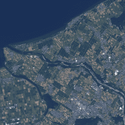
Netherlands orthophotos
Orthophotos of Netherlands is a set of color orthoimages. Two nationwide aerial photographs are collected per year: a leafless image at 7.5 cm resolution in the spring and one with leaves on trees at 25 cm resolution in the summer. For more information, please see … netherlands orthophoto rgb -
Slovakia orthophotos
Orthophotomosaic of the Slovak Republic is a set of color orthoimages without overlaps, gaps and visible brightness and color differences along the connecting lines. For more information, please see the Slovakia orthophotos documentation orthophoto rgb -
Spain RGB orthophotos 10 cm
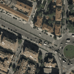
Mosaics of orthophotos from flights carried out between 2007 and 2018 by various public administration bodies at 10cm pixel resolution. This data is provided by National Plan for Aerial Orthophotography Spain (PNOA). For more information, please see the Spain orthophotos documentation orthophoto rgb -
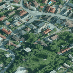
SWISSIMAGE 10 cm RGB imagery
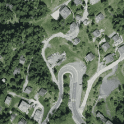
The SWISSIMAGE 10 cm orthophoto mosaic is an assembly of new color digital aerial images over the whole of Switzerland with a ground resolution of 10 cm in the plains and the main alpine valleys and 25 cm in the Alps. It is updated annually. … orthophoto rgb
[{
"type": "thumb-down",
"id": "missingTheInformationINeed",
"label":"Missing the information I need"
},{
"type": "thumb-down",
"id": "tooComplicatedTooManySteps",
"label":"Too complicated / too many steps"
},{
"type": "thumb-down",
"id": "outOfDate",
"label":"Out of date"
},{
"type": "thumb-down",
"id": "samplesCodeIssue",
"label":"Samples / code issue"
},{
"type": "thumb-down",
"id": "otherDown",
"label":"Other"
}]
[{
"type": "thumb-up",
"id": "easyToUnderstand",
"label":"Easy to understand"
},{
"type": "thumb-up",
"id": "solvedMyProblem",
"label":"Solved my problem"
},{
"type": "thumb-up",
"id": "otherUp",
"label":"Other"
}]