The Copernicus Program is an ambitious initiative headed by the European Commission in partnership with the European Space Agency (ESA). The Sentinels are a constellation of satellites developed by ESA to operationalize the Copernicus program, which include all-weather radar images from Sentinel-1A and 1B, high-resolution optical images from Sentinel-2A and 2B, ocean and land data suitable for environmental and climate monitoring from Sentinel-3, as well as air quality data from Sentinel-5P.
If recent Sentinel data are missing in Earth Engine, please consult the newsfeed on scihub for known outages.


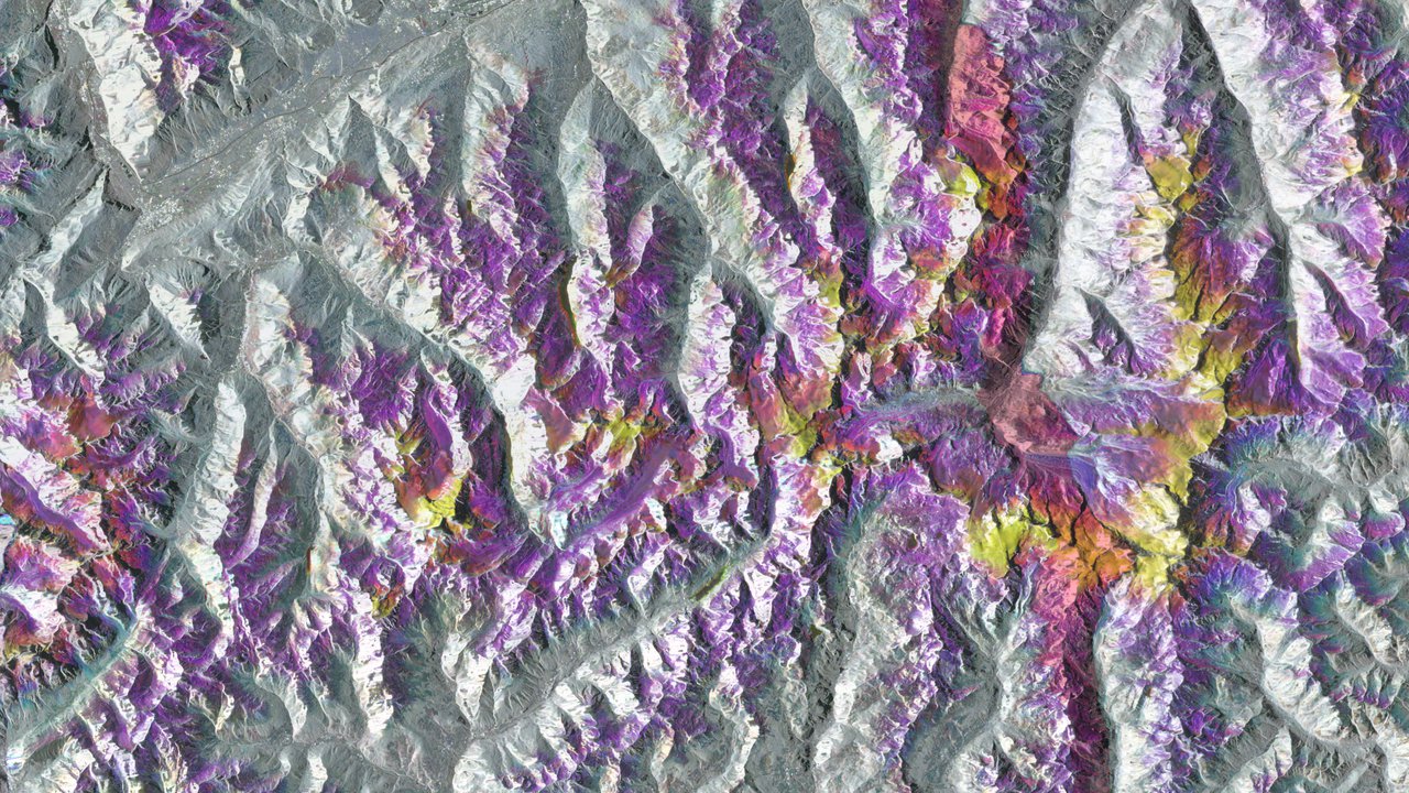
Sentinel-1 SAR GRD: C-band Synthetic Aperture Radar
The Sentinel-1 mission provides data from a dual-polarization C-band Synthetic Aperture Radar (SAR) instrument. SAR instruments are capable of acquiring meaningful data in all weather conditions (even clouds) during daytime and nighttime. Sentinel-1 data is used across many domains, including maritime activity, sea-ice mapping, humanitarian aid, crisis response, and forest management.
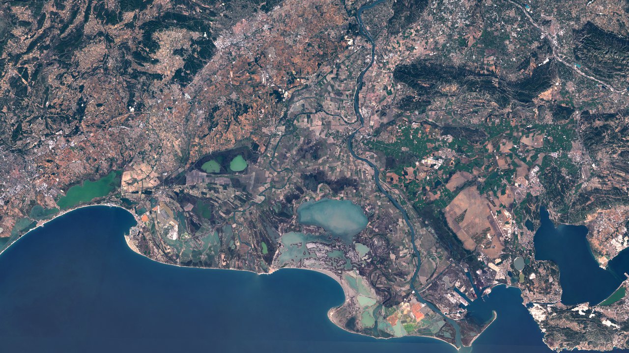
Sentinel-2 MSI: Multispectral Instrument
The Sentinel-2 mission collects high-resolution multispectral imagery useful for a broad range of applications, including monitoring of vegetation, soil and water cover, land cover change, as well as humanitarian and disaster risk.
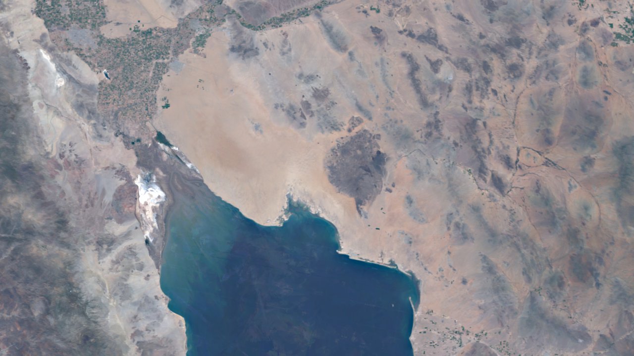
Sentinel-3 OLCI EFR: Ocean and Land Color Instrument
The Sentinel-3 instrument provides systematic measurements of the planet's oceans, land, ice, and atmosphere, including the temperature, color and height of the sea surface as well as the thickness of sea ice.
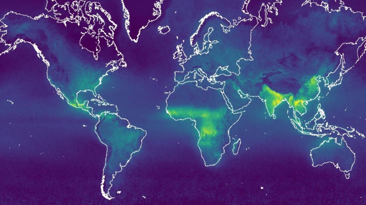
Sentinel-5P TROPOMI: TROPOspheric Monitoring Instrument
The Sentinel-5 Precursor mission collects data useful for assessing air quality, including concentrations of: ozone, methane, formaldehyde, aerosol, carbon monoxide, nitrogen oxide, and sulphur dioxide.
Derived Datasets
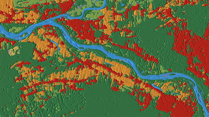
Dynamic World
Dynamic World is a 10 m near real-time land use/land cover dataset that includes class probabilities and label information for nine classes. Predictions are generated for all historical and incoming Sentinel-2 L1C images that meet quality thresholds.
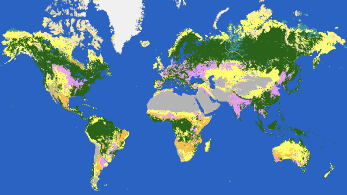
ESA WorldCover
The European Space Agency WorldCover 10 m 2020 product provides a global land cover map for 2020 at 10 m resolution based on Sentinel-1 and Sentinel-2 data. The WorldCover product includes eleven land cover classes.
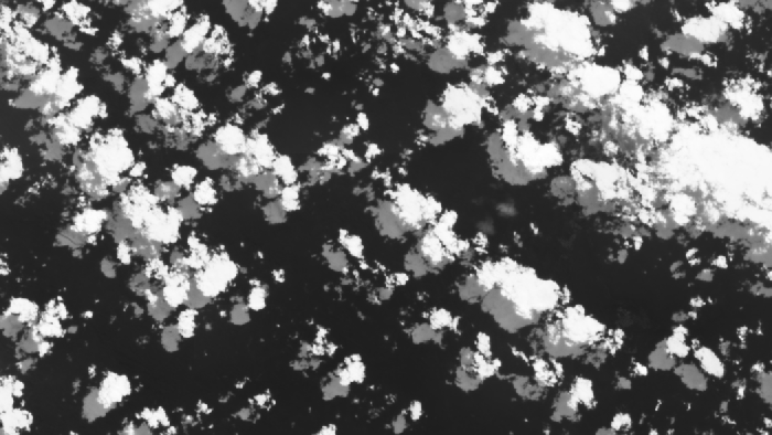
Cloud Score+ S2_HARMONIZED V1
The Cloud Score+ S2_HARMONIZED dataset can be used to identify relatively clear pixels and effectively remove clouds and cloud shadows from Sentinel-2 L1C (TOA) and L2A (SR) imagery. This dataset includes two quality assessment (QA) bands that grade the usability of individual pixels with respect to surface visibility on a continuous scale of [0,1].
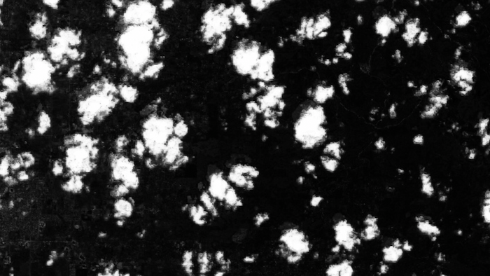
Sentinel-2 Cloud Probability
The S2 Cloud Probability dataset provides a flexible method to mask cloudy pixels in Sentinel-2 L1C (TOA) and L2A (SR) imagery. Per-pixel cloud probability is determined for each Sentinel-2 image in the archive at 10 m scale using the s2cloudless algorithm.